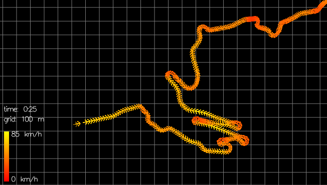
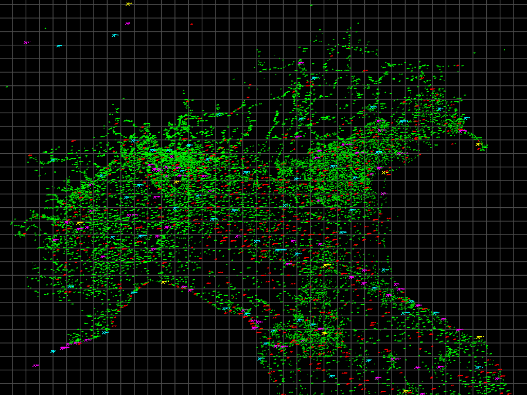
Images
See the gallery for a quick glance of all the pictures.
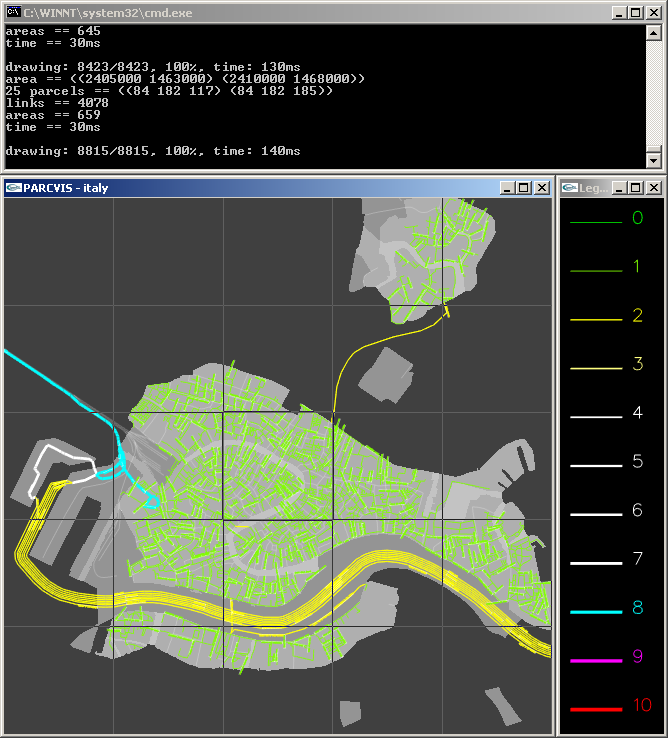
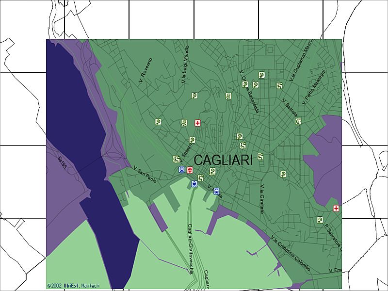
Italy density maps
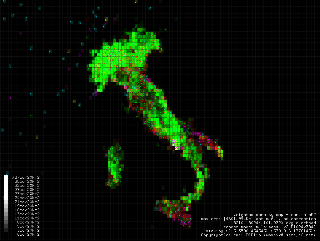
These images were generated with ccnvis during my work at UbiEst. ccnvis is a fully interactive tool to diagnose problems of city locations in geographical databases.
Indirect density maps
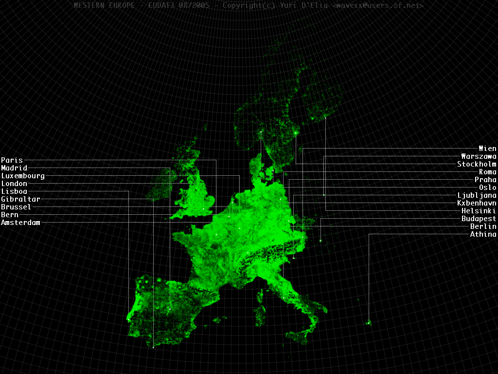
Eudat is an algorithm developed to indirectly calculate population density from punctual data and road graph analysis. See the Eudat page for details.